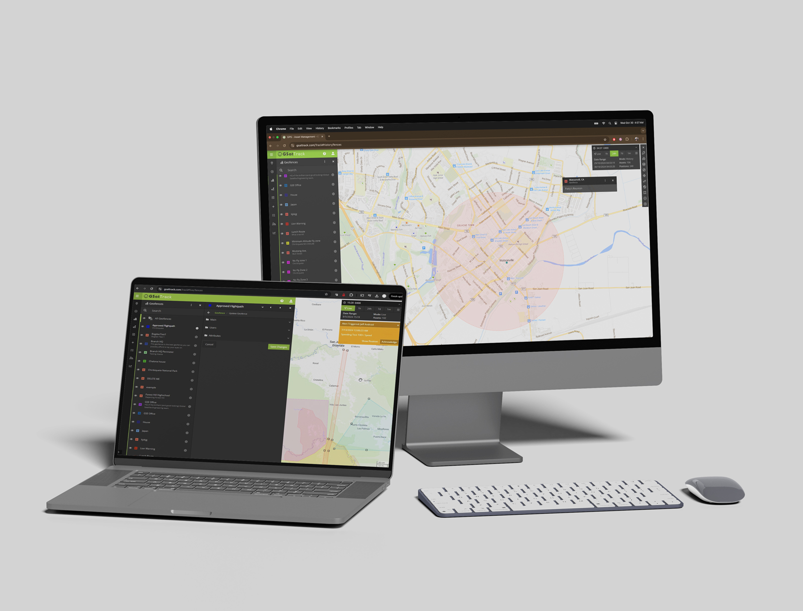
2024 Q4 GSatTrack Release is Live!
Our holiday gift to you is here!
In the biggest change to GSatTrack since 2019, the 2024 December release includes a number of performance enhancements, new features, and bug fixes. This public release is available immediately with no need for users to download or configure any changes themselves. Private installs may require additional support; contact your GSE representative for assistance.
GSatTrack Re-architecture Project
Over the past 3 years, GSE’s engineering teams have been working to restructure the way in which GSatTrack operates, and has been migrating the codebase to a new version of .NET. In addition, there has been a change to the underlying mapping engine, which has been transitioned to GLEO.
About the .NET change
Specifically, GSatTrack has moved off of .NET Framework and onto .NET, which means:
- More cross-platform and cloud support
- Easier and faster to maintain and update
- Easier and faster to develop and release new features
- Better performance and optimization
- Security improvements
People affected: Everyone
Changes to functionality: None
About the GLEO change
Specifically, GLEO is for canvas-based webGL rendering in a browser, which means:
- Up to 1000x better performance from faster rendering
- Use of graphics card instead of CPU for processing, which speeds up rendering
People affected: Everyone
Changes to functionality: None
Data Relays are now Data Connections
Data Relays, previously managed in your BOSS account, have been moved to the Manage tab in GSatTrack’s main navigation menu, and have been renamed “Data Connections.” From here, you can set up, monitor, and diagnose these Data Connections within a single interface.
Multiple data connection types can now be defined per account. Supported types include URL, JSON, NMEA, SPOT Data Push, and Gundi Sensors.
Data Connections can now be defined on a per-Asset or per-Asset-Group basis.
Most recent Data Connection history can be viewed in the portal for diagnostics.
New Feature: Custom Attributes
Custom Attributes allow users to add customizable data fields to Assets, Geofences, and Places, and then set those Attributes in the Details Panel for each. Attribute Groups allow users to manage their Custom Attributes, and to make them available to Assets, Places, and Geofences.
Custom Attributes support numerical and text fields, as well as names, descriptions, and data validation (limiting the options to a fixed list that appears in a drop-down menu). All Custom Attributes are also searchable fields, which means they can be used to tag and create collections of Assets, Places, and Geofences on the fly.
Custom Attributes are account-wide, but only Admin users can create and manage Custom Attributes. As with other Attributes, standard users can modify the values of those Custom Attributes on individual Assets, Places, and Geofences that they have permission to manage.
Custom Attributes will display in the Attributes section of the Edit Asset/Place/Geofence tab, where it can be modified by users with permission to edit that Asset, Place, or Geofence. On the Map interface, any Asset, Place, or Geofence that has been selected by the user will display any Custom Attributes in the Information Panel.
New Feature: Map Layer Groups
Great news for fans of Map Layers who have a lot of them… now they are easier to organize. Map Layer Groups allow users to create collections of Map Layers to make them easier to manage. Keep all of your weather-related layers together, all of your traffic-related layers in a separate group, and so on. Manage Map Layer Groups in the Manage tab.
Changes to Reports: Exporting
The Reports feature is getting a small upgrade to the export functionality, and will now default to exporting in the XLSX file format as opposed to the old XLS format.
This change also brings with it a number of cosmetic changes to the reports that are exported, making them easier to read and interact with in Excel or Google Sheets. Sortable and Filterable headers, cleaner formatting, and generally improved visual outputs are all changes that people will notice immediately.
Feature Beta: Bulk Import Asset Data
This new feature is still under construction, but is being released in beta form with this version of GSatTrack. It can be found in the Assets section of the Manage tab, where users can perform bulk actions for Assets.
While in beta, GSE will be working on how to map fields to values in GSatTrack, and will provide examples for CSV file creation. Until intelligent systems can be integrated to parse CSV files, GSatTrack will provide an interface to display which Assets can be imported, and which cannot. GSE welcomes your feedback on this feature, and how we can improve it, through your GSE representative.


